|
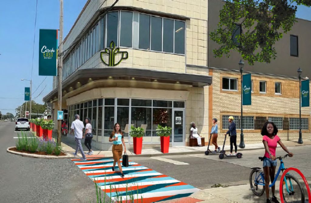
| This rendering of the Atlanta BeltLine Eastside Trail is an example of work done by part of the development team that is recommended by the Greater Cleveland Regional Transit Authority for its Columbus Road property along the Red Line rapid transit and greenway. (Perkins & Will Global) CLICK IMAGE TO ENLARGE |
Today, the Greater Cleveland Regional Transit Authority (GCRTA) announced its staff recommendation for who should develop its Duck Island property along Columbus Road south of the Ohio City Red Line rail station. The GCRTA Board of Trustees still must decide whether to approve that recommendation. The proposed team and design may be intriguing to many.
The recommended developer is Carnegie Management and Development Corp. of Westlake. On their team is a well-known international architectural firm Perkins & Will Global which has undertaken many Transit-Oriented Development (TOD) master plans and TOD-thematic projects.
Although Carnegie has historically built suburban sprawl-type developments, it has recently taken a new approach in winning the City of Lakewood’s bid to build the $100 million, new-urbanist, mixed-use One Lakewood Place redevelopment of the former Lakewood Hospital site. Combined with Perkins & Will’s expertise, it builds hope that their involvement will result in a well-designed project that will generate ridership for the adjacent GCRTA Red Line rail station and boost the surrounding neighborhood.
The proposed development will not just be residential but include some mixed use, plus 2 acres of greenspace as well as a partial cap over the Red Line and planned greenway trail, said GCRTA Real Estate Manager James Rusnov. The cap is proposed to be located more than one hundred feet south of Abbey Road and include a building, a public plaza, and potentially a secondary access point to the Ohio City Red Line station platform which extends well south from Abbey.
“It will also improve connectivity with Harbor Bay’s (Market Square) development,” Rusnov said. “It’s a nice way to blend the two projects. Our RFP (Request For Proposals) stipulates improved access to the (Red Line) station.”
 |
| Public spaces will be a prominent feature in Carnegie’s One Lakewood Place project that will see construction starting this year on the site of the the former Lakewood Hospital. Carnegie’s proposed development on GCRTA’s land will also feature public spaces, including over the Red Line tracks and greenway (Nelson-K&A). |
Some neighbors expressed concern that the development would be nothing more than a row of high-priced luxury townhouses that would produce little if any ridership benefit to GCRTA or offer any retail/restaurant amenities, public spaces and enhanced pedestrian connectivity between Ohio City and the Duck Island neighborhood. One of those opposed is developer Sam McNulty who built the Duck Island 7 luxury townhomes across the street from the property GCRTA seeks to develop. He recently wrote an op-ed in Scene explaining his opposition.
Ironically, public records show that one of the Columbus Road development proposals rejected by GCRTA staff was by a team that included Gary Ogrocki, a principal at Dimit Architects. Ogrocki is also a partner of McNulty’s in the Duck Island 7 development. Ogrocki did not respond to an e-mail seeking comment for this article.
The development of GCRTA’s Columbus Road property will be a topic of discussion at the Duck Island Block club at 6:30 p.m. March 5 at Forest City Brewery, 2135 Columbus Rd.
 |
| The entire west side of Columbus Road visible here was rezoned to multi-family housing by the city according to the Duck Island Neighborhood Plan which was shaped by public input. However, only a portion of this GCRTA-owned land is proposed to be developed, leaving the rest of the land, or 2 acres, for greenspace (Google/KJP). |
Last October, Cleveland City Council rezoned multiple parcels of land in the fast-growing Duck Island neighborhood. The rezoning followed six years of neighborhood engagement and the creation of a local development masterplan based on public input.
The land along the west side of Columbus Road (including the land GCRTA seeks to develop) from Lorain to West 25th, was rezoned from semi-industry to “multi-family G-1” which allows a range of residential uses, from single-family homes to apartment buildings. Only a portion of that is proposed to be developed. The rest will remain greenspace measuring about 88,000 square feet or 2 acres.
The proposed inclusion of mixed-use in Carnegie’s project will require a variance from the Board of Zoning Appeals — as does Harbor Bay’s development across the tracks. The maximum square footage of a building on a property zoned G-1 is three times the lot area and can be up to 35 feet in height based on the street frontage. The site of the lot area would be expanded by building over the Red Line.
In my November blog posting, Rusnov noted that the GCRTA-owned land to be developed is south of Abbey, measuring 85 feet by 700 feet. That brings it to near the Willey Avenue intersection. The land north and south of the GCRTA development site, including next to the station headhouse, would feature improved, accessible greenspace and offer pedestrian and bicycle paths to the the Red Line Greenway trail.
Given the zoning, height district and lot area, the height of the development’s street frontage along Columbus Road could permit a four-story building. But the Red Line right of way below Columbus Road is 25-30 feet lower, offering the opportunity to erect buildings as tall as seven stories from the perspective of the rail line’s ravine. Also, the lot area allows buildings to provide up to 178,500 square feet of space, equaling approximately 150 apartments, without a variance. That doesn’t include a larger, undefined lot area over the tracks, however.
END