Road and rail construction in Cuyahoga County will benefit from state funding approved this week by the Ohio Department of Transportation’s Transportation Review Advisory Council. In 2020, the Opportunity Corridor Boulevard was getting built above while the light-rail tracks of the Blue and Green Lines were getting rebuilt west of Shaker Square (GCRTA). CLICK IMAGES TO ENLARGE THEM.
Brook Park stadium road access funded
On Wednesday, the Ohio Department of Transportation’s (ODOT) Transportation Review Advisory Council (TRAC) released its latest list of construction commitments for transportation infrastructure throughout the state. Over $60 million is allocated to four projects in Cuyahoga county expected to begin construction within the year.
Each year, TRAC releases a list of projects that receive funding based on a tiered system. Tier I projects are usually ready for construction and need the final funding push to proceed. Tier II and III projects meanwhile are either still in the conceptual stages or visions five to ten years into the future.
While many associate ODOT with the interstate, the transportation agency funds several public transit projects as well. Funding for these Tier I Cleveland-area projects covers a wide array of disciplines from highways to light rail to bus rapid transit (BRT).
In this cycle, 27 statewide projects requested $674 million in funding, but only 11 projects won awards totaling $123 million. Combined with previous year’s grants, four Cuyahoga county projects are moving forward.
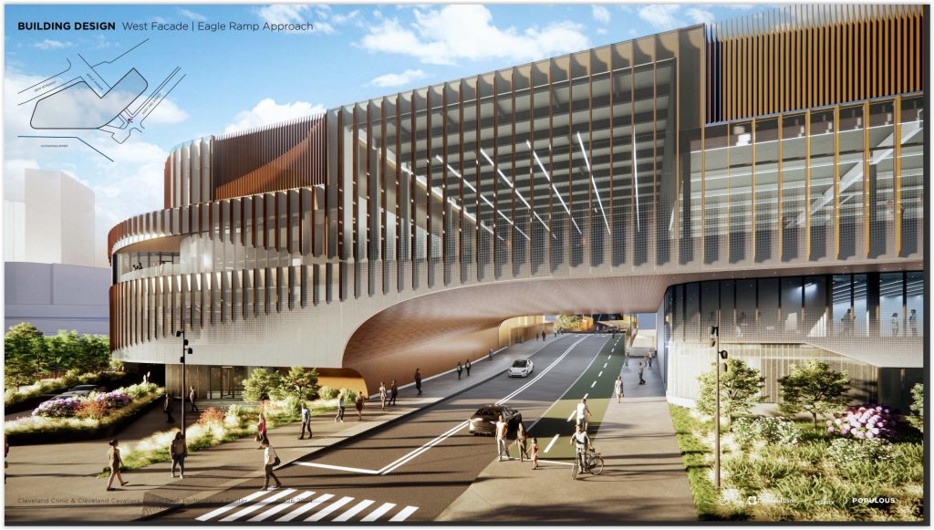
The first of four projects — and one of the most topical — is the improvement of the I-71 intersection and Snow and Engle roads around the future Cleveland Browns stadium in Brook Park.

A map showing the various planned improvements to the road network surrounding the future Cleveland Browns football stadium and mixed-use district. (Osborn Engineering)
The $82.2 million in funds sought by Haslam Sports Group (HSG) and the City of Brook Park would be spent adding an additional left turn lane on the exit ramp of I-71 NB to Snow Road, as well as a new overpass exit branching off of the I-71 SB exit to Snow Road that would expedite event-goers off of the freeway to the mixed-use district.
Improvements to Snow Road between I-71 and SR 237 as well as a complete simplification and upgrade of the “spaghetti” that is Engle Road is also included.
However, despite seeking the maximum funding from ODOT for the improvements, the project only received $35 million dollars. Local funding is listed at $11.9 million meaning an additional $35.3 million is needed.
Because TRAC funds are limited, this outcome was not a surprise to HSG and Brook Park as it is typical for projects not to receive the entirety of their funding, especially one being fast-tracked like this.
Instead, city officials are seeking other funding sources to close the remaining roadway improvement gap, such as federal transportation infrastructure funds or an additional contribution from HSG themselves.

This aerial view shows the proposed diverging diamond interchange and its relation to one of the largest employers in Solon – Nestle. (GPD Group)
This, on top of the fact that the projected cost of the entire Cleveland Browns mixed-use district has risen by roughly $200 million in recent months.
HSG said it will cover any cost overruns that the now-$2.6 billion project encounters. Construction broke ground at the beginning of March while $600 million in state funding remains tied up in a legal battle.
As of the writing of this article, the first round of engineering plans are complete. The Brook Park improvements would begin construction in February 2027 and complete in time for the 2029 football season and opening of the new stadium if all approvals are granted and funding secured.
The second project to receive TRAC funding is an innovative interchange project making its way into Northeast Ohio. Seen in other cities around the state like Toledo and Columbus, Cuyahoga County is long overdue in getting its own diverging diamond interchange.
A diverging diamond interchange is not a new concept – it involves crossing streams of traffic so that drivers drive on the left hand side of the road instead of the usual right.

An example showing the flow of traffic and reduced conflict points in a typical diverging diamond interchange. (Virginia Department of Transportation)
Crossing to the other side of the road before the intersection allows vehicles to enter and exit the freeway without having to cross lanes of oncoming traffic. After leaving the intersection, drivers switch back over to the right side of the road.
Diverging diamonds and known for reducing the number of “conflict points” which in turn reduces the likelihood of crashes. A typical interchange might have four to eight of these points thanks to left-hand turns whereas a diverging diamond reduces them to two.
The planned interchange is located at US 422 and Harper Road in Solon. As one of the larger job hubs on the east side, traffic during commuting hours can cause delays here, especially with the significant number of trucks passing through.
Getting the diverging diamond project to the starting line was no easy feat. Solon City Council had previously voted to suspend the project in April 2024 citing an increase in project cost and mistrust in how ODOT pursued the project — the roadbump leaving some with a bad taste in their mouth.
After amending the relationship and working through specifics however, the revised proposal sees a total of $7.1 million in funding contributed by ODOT to the $11.1 million project, with the city to cover the majority of the rest.

Most examples of diverging diamonds in Ohio go over the freeway. The proposed Harper Road interchange goes underneath US 422 instead. (GPD Group)
Construction on the Harper Road interchange will begin in July 2026 and finish in October 2027. And while there are no further diverging diamond interchanges proposed in the county at this time, the success of this project may inspire other communities to explore one of their own in the future.
ODOT also provided funding commitments to two public transit projects in Cuyahoga county. The first is $10 million in funding to reconstruct 10 miles of light-rail track on the Greater Cleveland Regional Transit Authority’s (GCRTA) Blue and Green Lines linking Downtown Cleveland and Shaker Heights.
Costing a total of $87.9 million, this critical project helps improve the longevity and reliability of the light-rail tracks. According to GCRTA, work is divided into several phases, some of which are already complete.
One of those phases was upgrading the tracks between Shaker Square and East 55th Street in 2020 to allow for speeds of 45 mph and a smoother ride. The next and final two phases will replace the remaining tracks from Shaker Square to the termini of the Blue and Green lines at Warrensville and Green roads, respectively.
Blue Line repairs will come first, occurring from Fall 2026 to Fall 2027, while the Green Line repairs will occur from Fall 2027 to Fall 2028. This means that most if not all of the light-rail track will be upgraded by the time GCRTA’s new Siemens S200 light-rail vehicles begin Blue and Green Line service in the summer of 2028.

A plan for the light rail track replacement project shows which sections have and have not yet been completed. (GCRTA)
These much-needed track improvements will improve quality of life of passengers and operators alike and provide a more reliable and comfortable light-rail service to patrons.
Finally, ODOT approved $12 million for the $75.1 million MetroHealth Line BRT project in Cleveland. According to ODOT’s TRAC draft, the project is now entirely funded, with $6.9 million in non-TRAC funding and $56.2 million of local money rounding out the total cost.
Starting at the intersection of Pearl and State in the Old Brooklyn neighborhood, dedicated bus lanes in the outermost lanes would run nearly uninterrupted for a distance of 3.8 miles to the intersection of West 25th Street and Detroit Avenue.
Brand-new stations with elevated curbs, robust shelters with digital departure time boards and modern signage are part of the proposal. A complete repaving of West 25th is planned including raised crosswalks at some critical intersections like West 25th and Lorain Avenue that are pedestrian-heavy in order to reduce speeding and promote safety.
A perilous intersection at West 25th and Columbus Road will also be entirely reconfigured. Red paint denoting bus-only lanes is proposed. BRT lines throughout the world typically paint their lanes a different color for drivers to easily distinguish them from regular lanes, similar to how bike lanes are typically painted green.

While not quite as large as the HealthLine stations, proposed stations for this line are more robust than the average bus shelter. New plantings, high-visibility signage and emergency call buttons will be a significant infrastructure upgrade.
These markings are a feature that the HealthLine on the east side does not currently have, sometimes leading to confusion and vehicles either crossing into bus-only lanes temporarily or blocking them entirely. As a result, both GCRTA and the City of Cleveland are hoping to address these concerns on the MetroHealth Line project.
Along the way, the MetroHealth Line buses will pass major destinations such as the Cleveland Metroparks Zoo, the namesake MetroHealth main campus, CentroVilla25, the West Side Market and the future Irishtown Bend Park overlooking the Cuyahoga River and downtown Cleveland.
This highly-traveled west side corridor will have seen nearly $1 billion in new investment by the time it opens in 2028. The rapidly-evolving Ohio City and western Tremont neighborhoods are served by the proposed line as well as burgeoning areas of new investment such as the BVQ blocks and the Clark-Fulton neighborhood.
Bus routes currently serving parts of the proposed line are the Nos. 22, 25, 45, 51/51A and 53/53A which carry more than 1 million transit riders per year — more than the number of people driving on West 25th, according to GCRTA and city data.
The MetroHealth Line would be both the second BRT project in Cleveland and the second associated with one of the region’s major hospitals. The HealthLine opened along Euclid Avenue in 2008 to stimulate growth in the underdeveloped Midtown area between two of the state’s largest job hubs — Downtown Cleveland and University Circle.

This map – with north to the left – shows several clusters of development happening or proposed to happen all along the future MetroHealth Line. (GCRTA)
Running through the Cleveland Clinic Main Campus, the HealthLine has helped spur millions in development along Euclid Avenue from conversions of historic buildings into health-tech offices, to a new Cleveland Foundation headquarters and hundreds of new apartments completed and proposed.
One goal is to continue development momentum along the West 25th corridor as a result of this new transit line, one that will serve as a major connection to the Red Line light-rail in Ohio City.
The MetroHealth Line will also completely redesign the section of West 25th street adjacent to Irishtown Bend to include bike lanes and center planted medians — a vast visual and safety improvement over the current condition.
Look for all of these projects to begin construction within the next year, and keep on the look out for further ODOT projects coming to Northeast Ohio in the near future.
END